Don’t hesitate and write us. This is the general email.
+918056669780 +918825595216
We are available for questions and estimates.
RJ DIGITAL LAND SURVEY
8/43, Santhapuram, Near Post Office, Kanniyakumari District - 629201
Accurate & Precise Land Surveying Services With The Highest Quality.
Real Estate
Property Boundaries
A property line map, or a “plat,” is a drawing that maps out your property’s boundary lines, and includes details like elevations, bodies of water and structures.
Land Survey Plat
A Land Survey Plat is a survey to establish the boundaries of a parcel using its legal description which involves finding or setting property corners.
Topographic Exhibit
In modern mapping, a topographic map or topographic sheet is a type of map characterized by large-scale detail and quantitative representation of relief.
Improvement Location Certificate
Is an inspection of a parcel by a licensed surveyor to determine possible encroachments or other matters that could be adverse from a land surveying standpoint.
Professional Land Surveying & Mapping
RJ Digtal Land Survey. routinely provides surveying solutions for business, real estate, land development and civil engineering in Boise area.
We are a small company providing a variety of land surveying services
Using time saving methods and technologies.
One way to check your property lines is to look at the deed of the property. As a legal document about your property, the deed should have a worded description of your land’s boundaries.
Projects
0+
Years of Experience
0
Happy Clients
0
Quality Certificates
0
8 years of successful land surveying and mapping projects in the greater Boise State region.
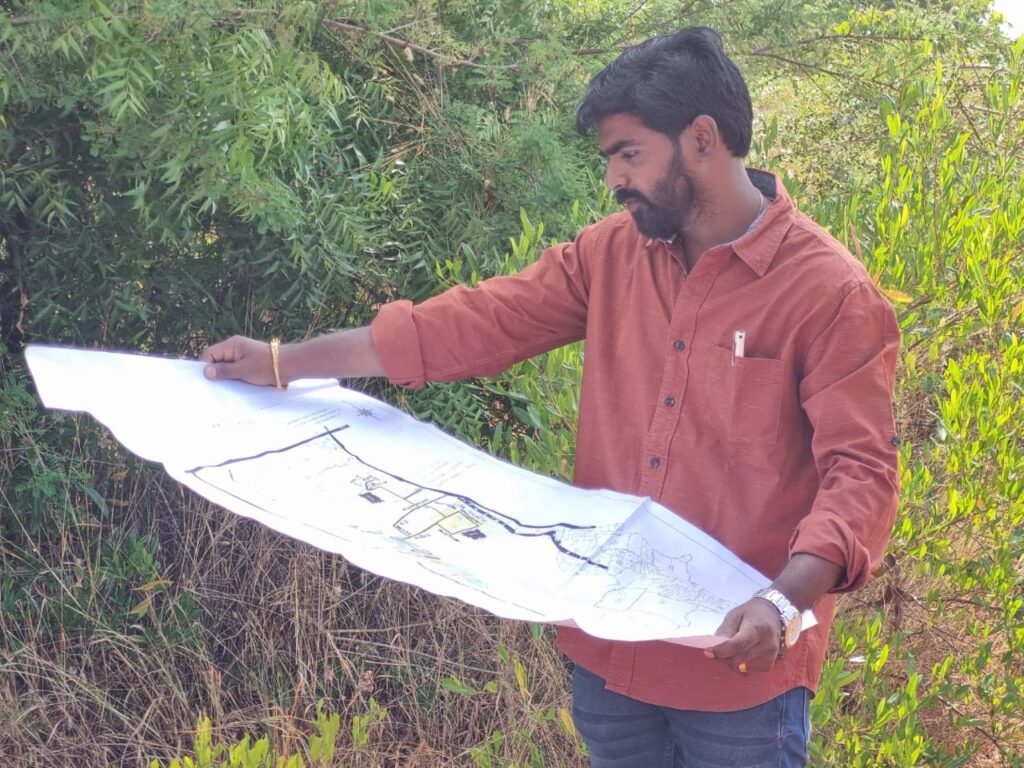
T RAJESH
PROPRIETOR
About our organization, mission, our methods, and the range of services.
One way to check your property lines is to look at the deed of the property. As a legal document about your property, the deed should have a worded description of your land’s boundaries.
Precise Land Surveying
We approach every project with a focus on exceeding the client’s needs.
Affordable & Accurate
Legal requirements can be tricky and land surveying companies can’t keep.