POIGAI DAM SURVEY
Client
PWD KanniyakumariDelivery
July, 2023Project Type
Poigai Dam SurveyLocation
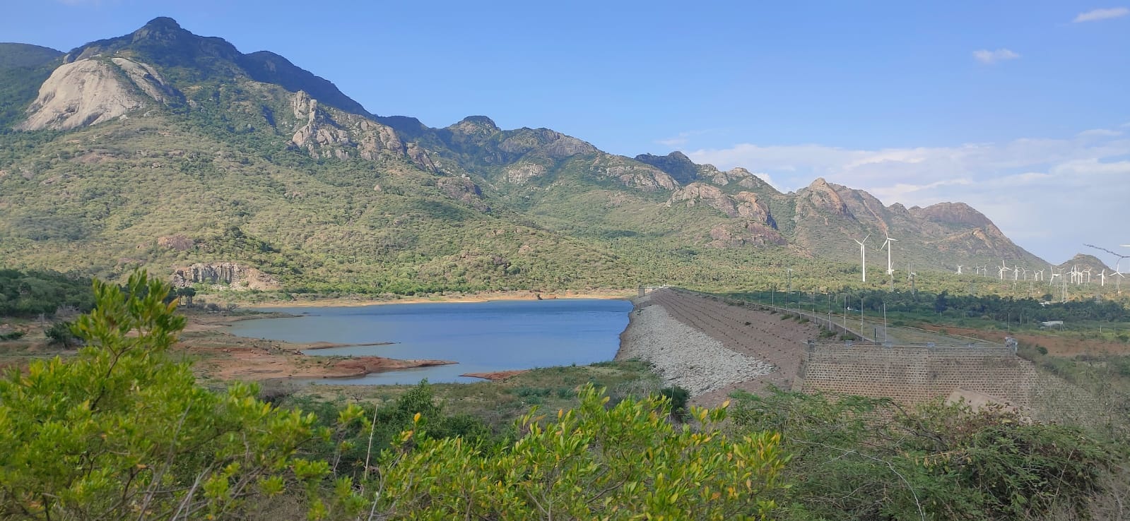
Aralvaimozhi, Kanniyakumari, Tamil NaduRJ Digital Land Survey was contracted by Kanyakumari Water Supply & PWD Department to carry out topographic and bathymetric surveys of Poigai reservoir in the Aralvaimozhi, Kaniyakumari District, Tamil Nadu. This report describes the results of the topographic and bathymetric survey services provided by RJ Digital Land Survey to the WRD for topographic and bathymetric mapping of the Poigai reservoir, Aralvaimozhi, Kaniyakumari District, Tamil Nadu. The mobilisation of equipment on board survey boat RJ Digital Land Survey started on 01st July 2023 and was completed on the same day. Initial system preparation and equipment checks were completed on 01st July.

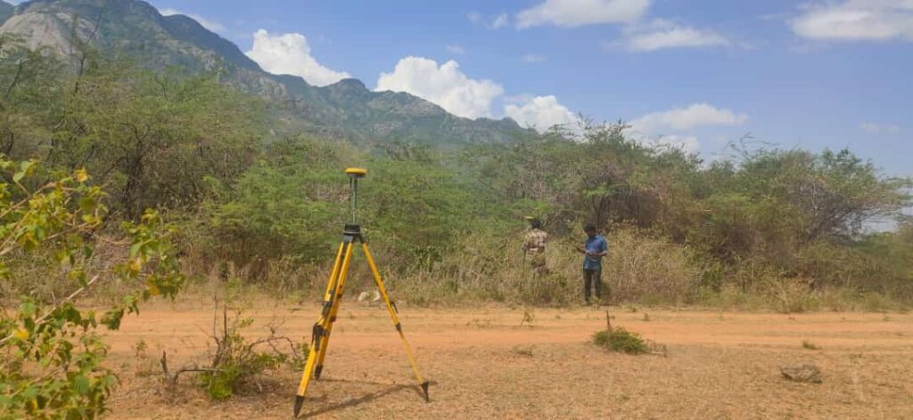
A DGPS consistency check was carried out on 2nd July by establishing two reference stations (TBMs) using RTK systems. The details of the DGPS and RTK calibrations and established TBMs details are provided in Annexure 2-Mob and Cal Report. The topographic and bathymetric survey commenced on 29th July and 03rd August 2021 respectively at Poigai reservoir. Topographic survey was completed on 05th July.

