Public Utilities
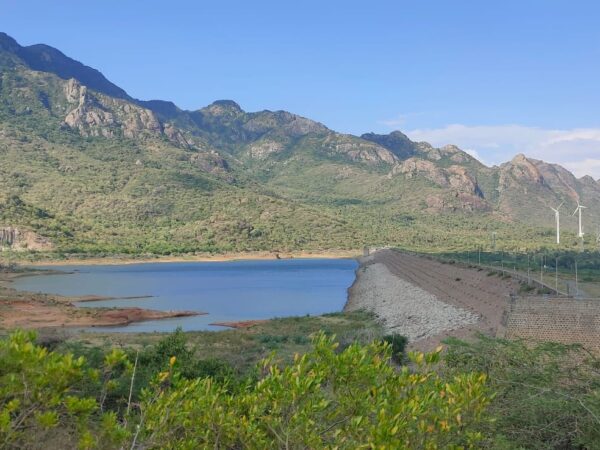
POIGAI DAM SURVEY
RJ Digital Land Survey was contracted by Kanyakumari Water Supply & PWD Department to carry out topographic and bathymetric surveys of Poigai reservoir in the Aralvaimozhi, Kaniyakumari District, Tamil Nadu. This report describes the results of the topographic and bathymetric survey services provided by RJ Digital Land Survey to the WRD for topographic and bathymetric …
Park Aerial Survey
Aerial Imaging With their ability to capture data from above, drones are able to perform land surveys, photogrammetry, 3D mapping, topographic surveying, and more, with increased efficiency. The Benefits of Drone Mapping Using drones for surveying offers the following advantages:
Highway Planning
The Community Charter defines highways to include streets, roads, lanes, bridges, viaducts and any other way open to public use.


